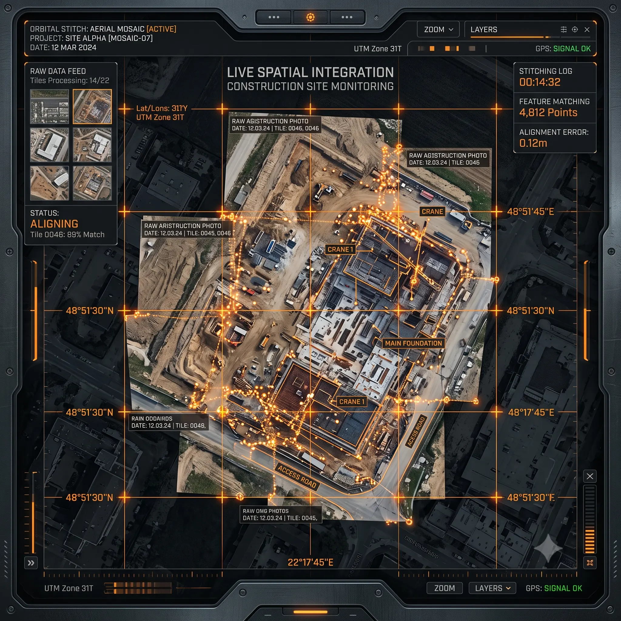
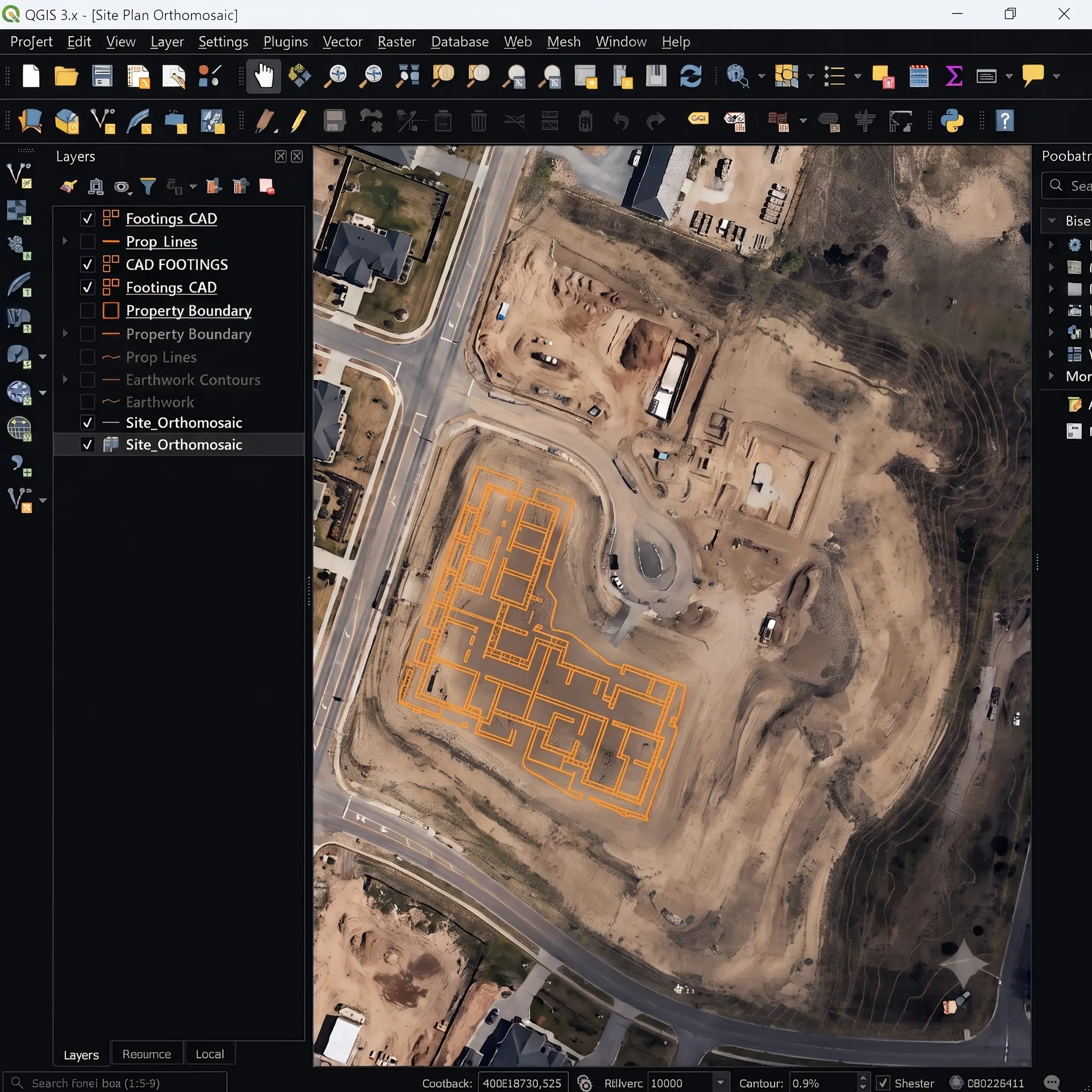
Geo QGIS
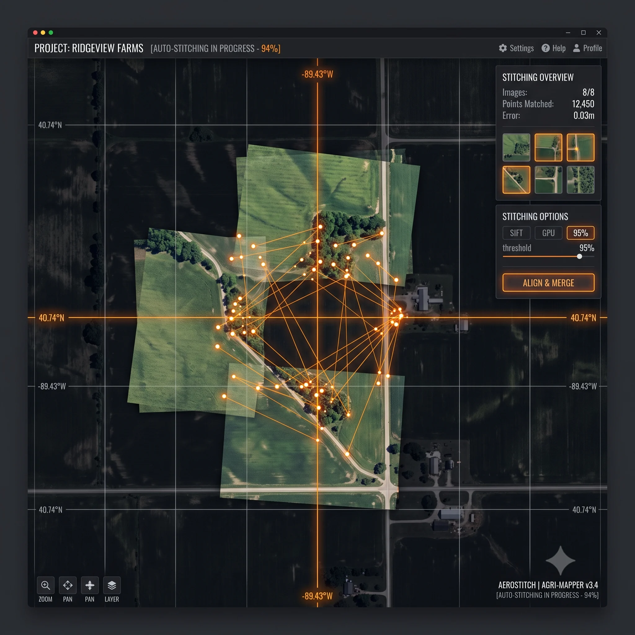
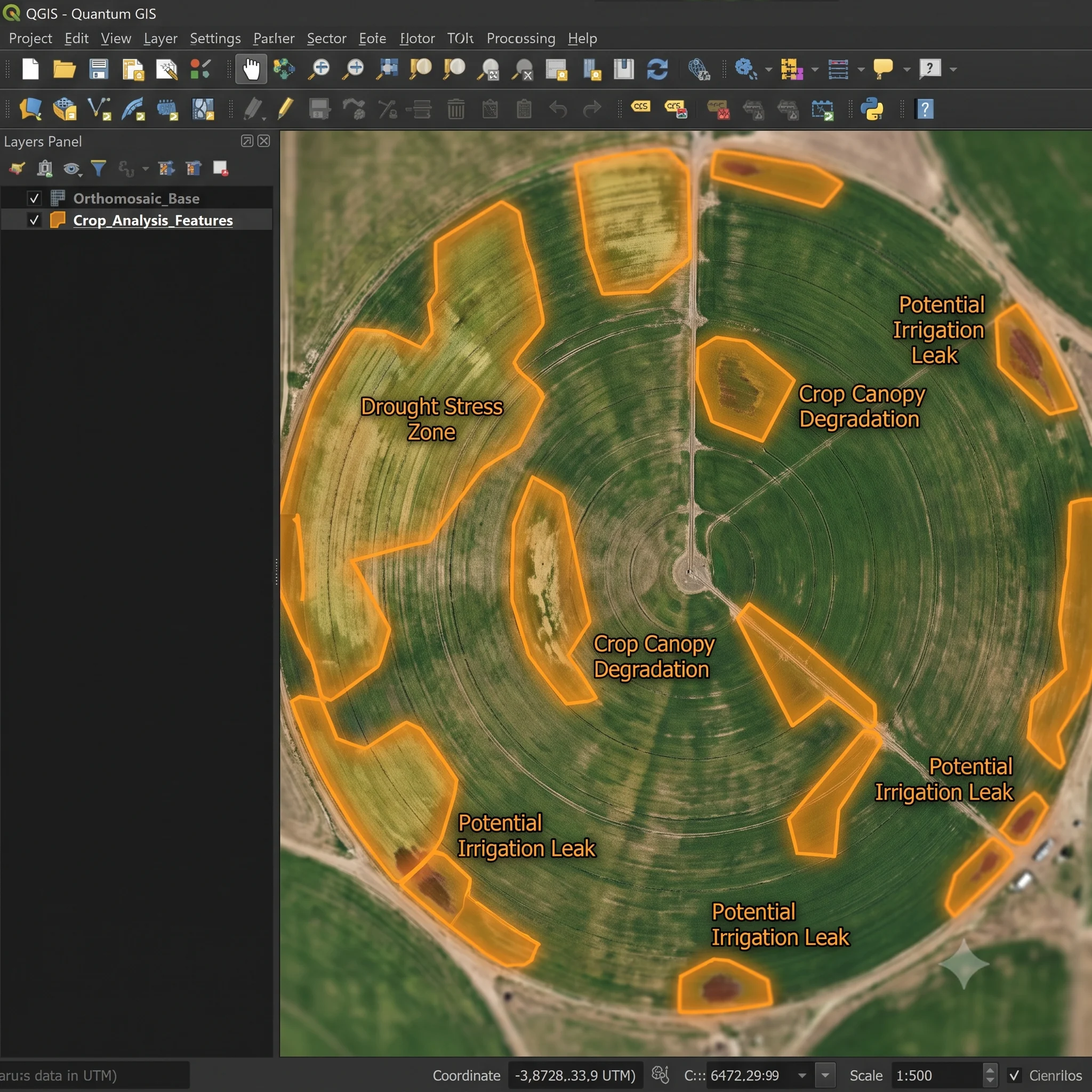
Our native plugin integration built cleanly for geospatial professionals requiring deep desktop GIS environments. Seamlessly registers live flight imagery straight onto your local QGIS satellite map arrays.
Geo Cloud
Our proprietary home-grown web application portal. Delivers instant, web-based accessibility and collaborative mapping tools built explicitly for on-the-go global geolocalization commands.
Atlas Geo
Our flagship UAV-to-map georegistration engine increasing throughput 10x. To support diverse workflows, the Atlas Geo core framework is deployed across two distinct operational modules depending on your system environment: QGIS and Cloud.
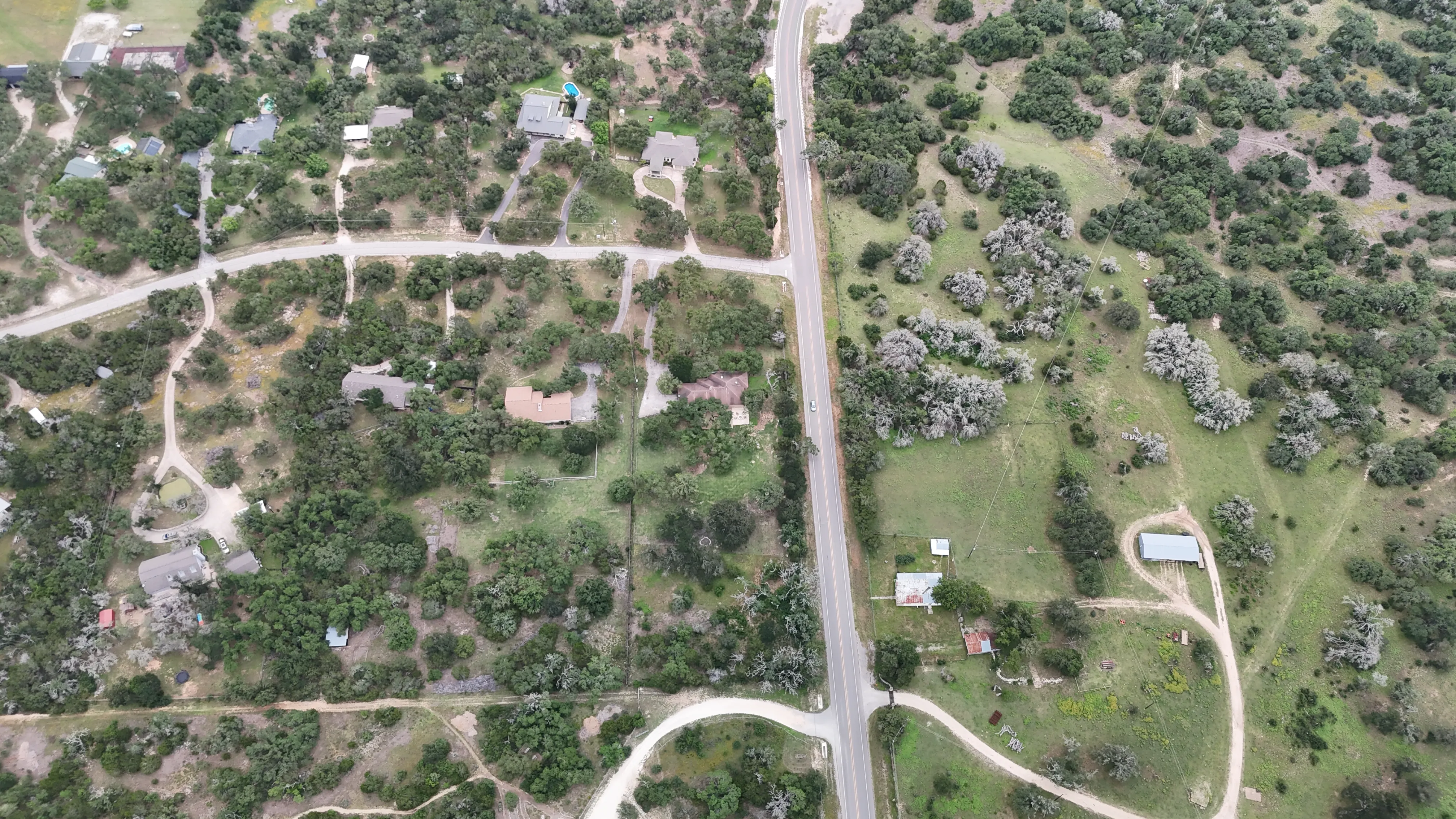
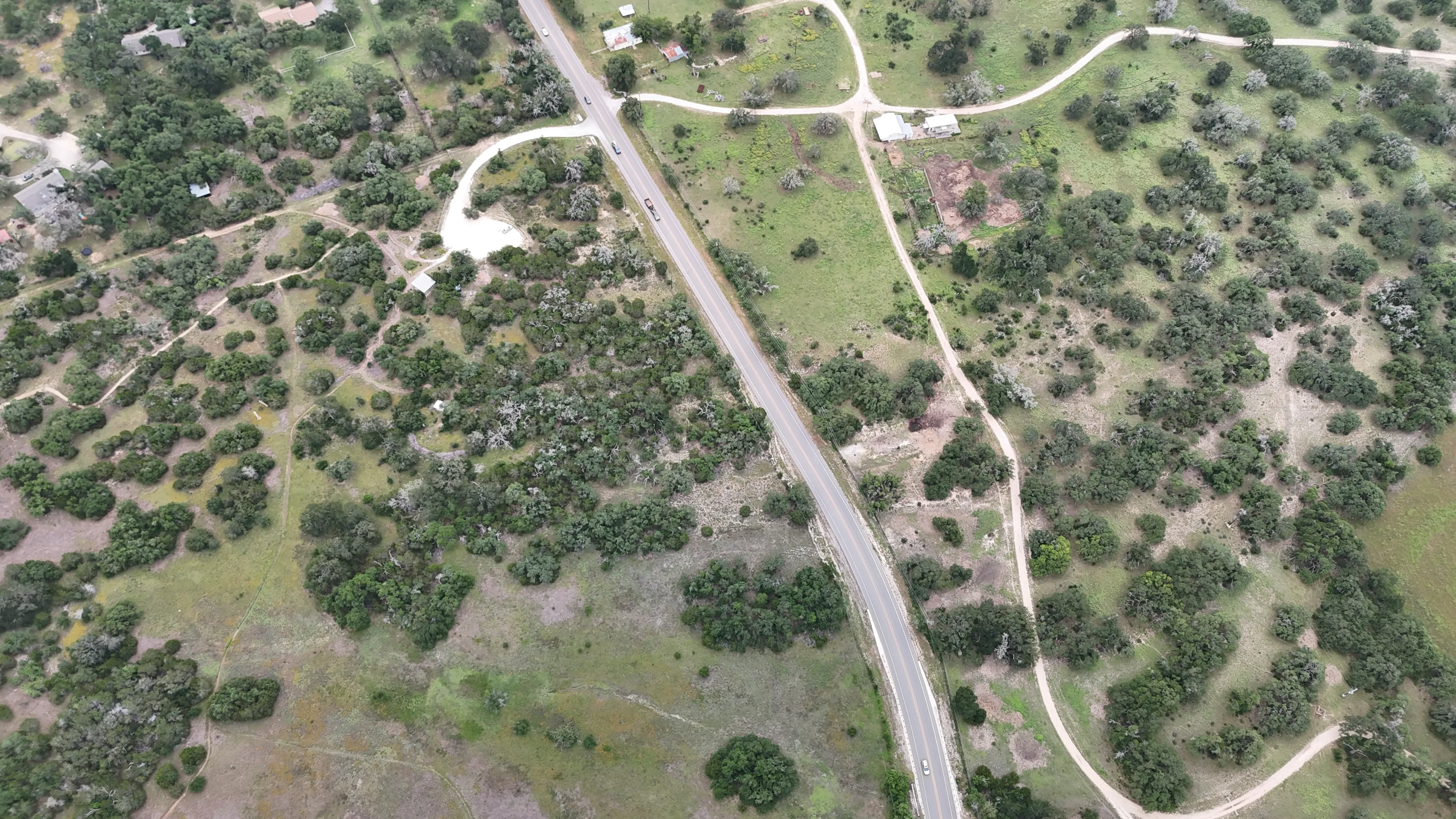
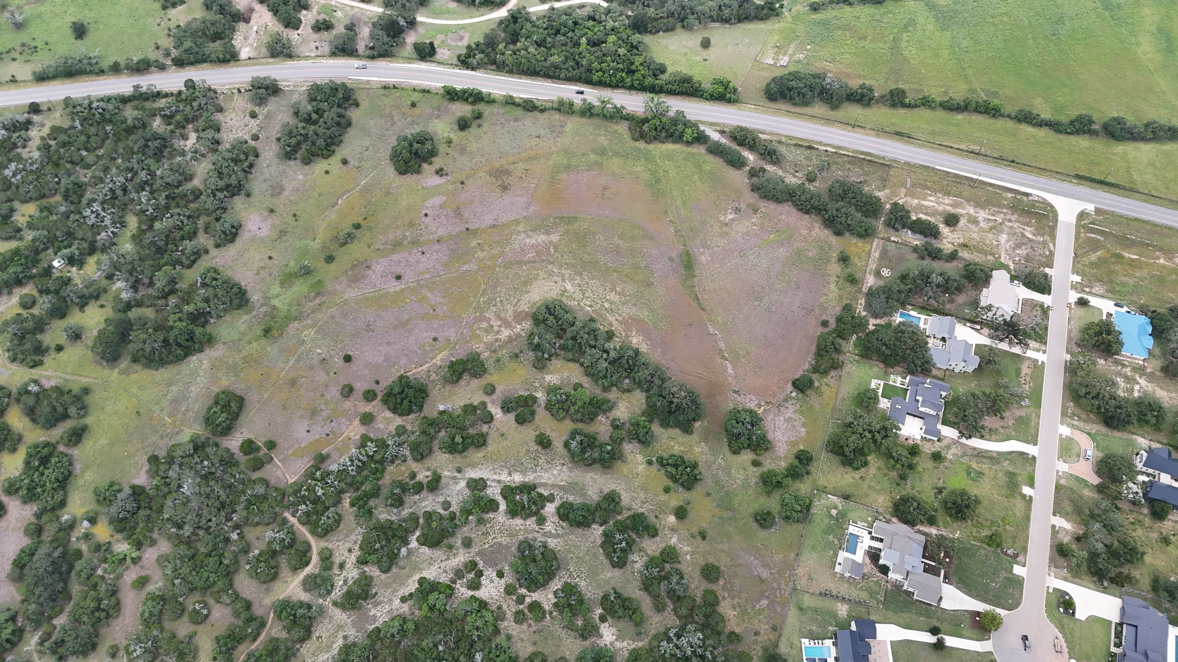
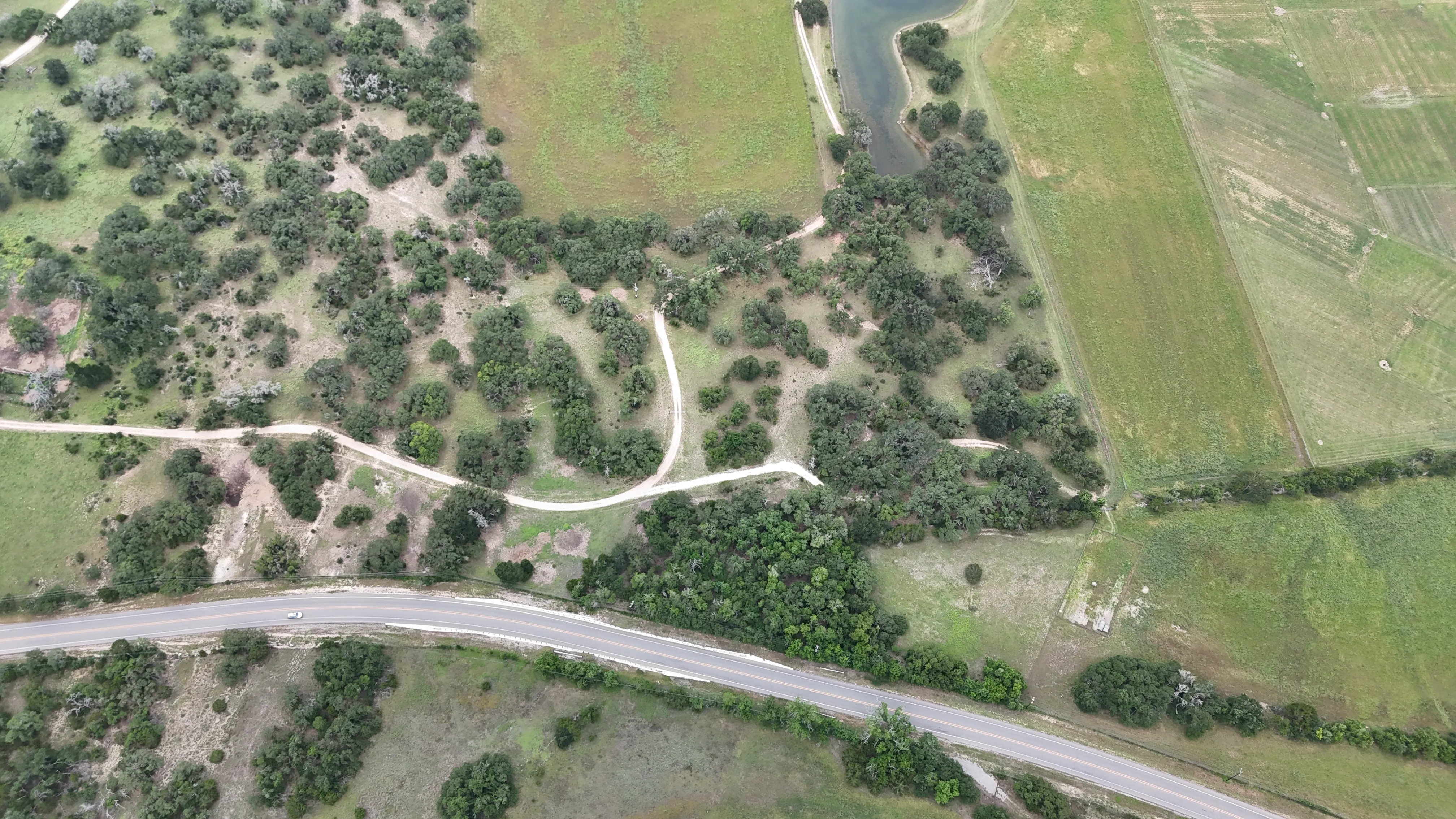
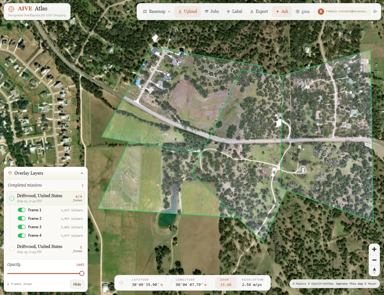
*Depends on environment and basemap resolution
Products Coming Soon
AIVE is currently building Atlas Locate, an online edge-based solution for GNSS- and comms-denied positioning with dual-use application. Also underway is a high-fidelity change detection solution.
Real-World Deployments for Real-World Impacts.
Atlas Geo QGIS & Cloud
1. Capture Imagery
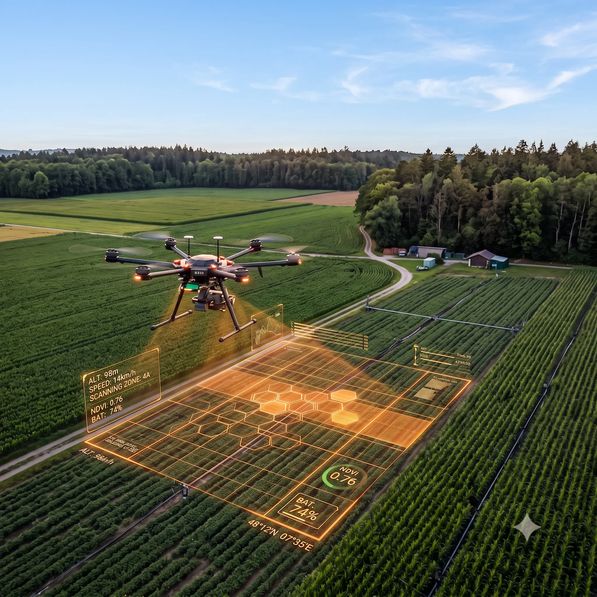
Fly drone along utility corridors or transmission structures to collect raw high-resolution RGB inspection frames.
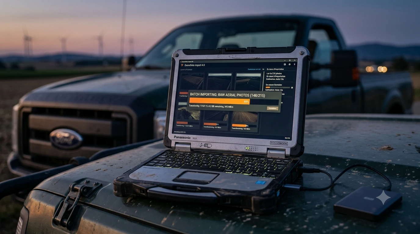
2. Load Atlas Geo
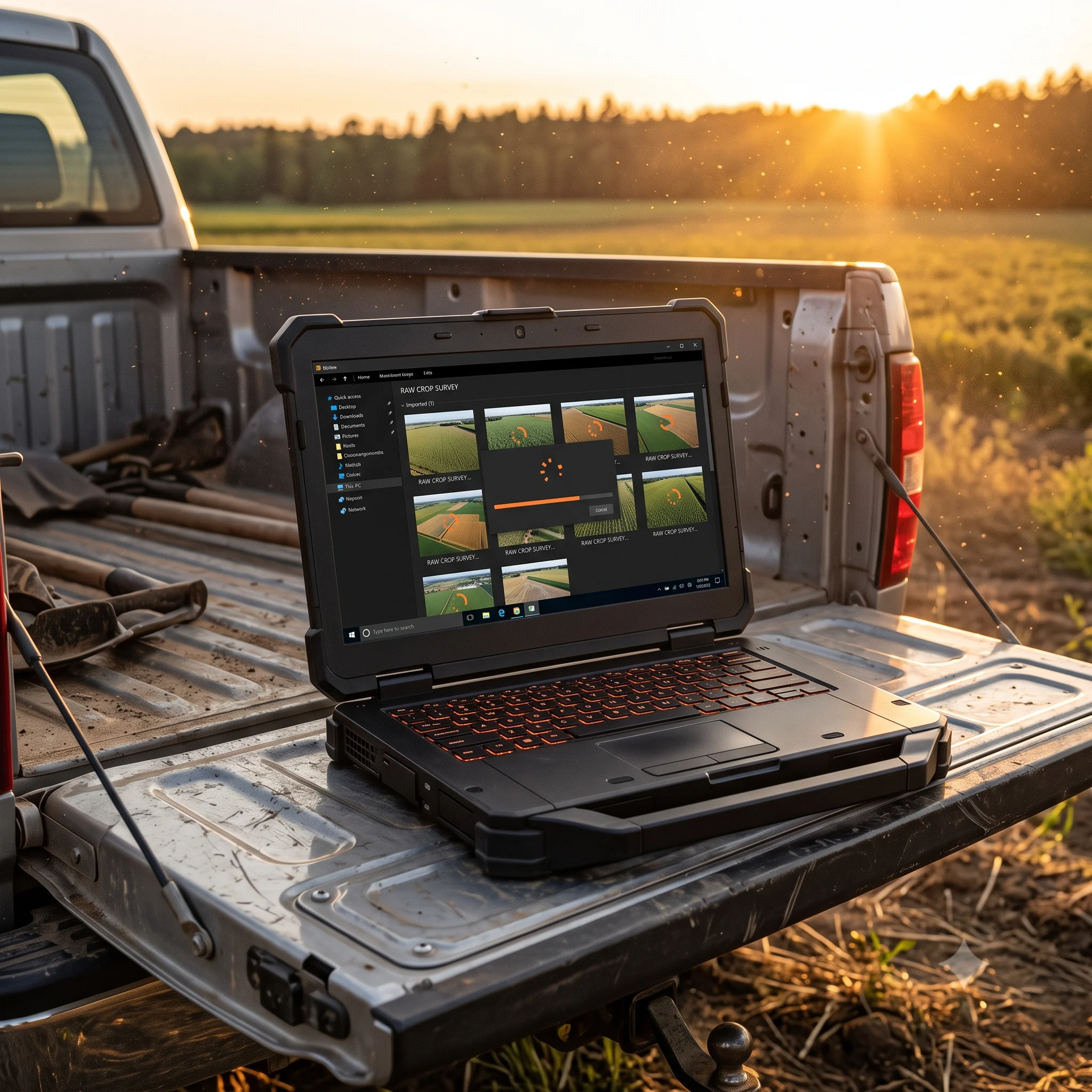
Land drone on-site and import raw collected imagery directly into the plugin without manual setup.
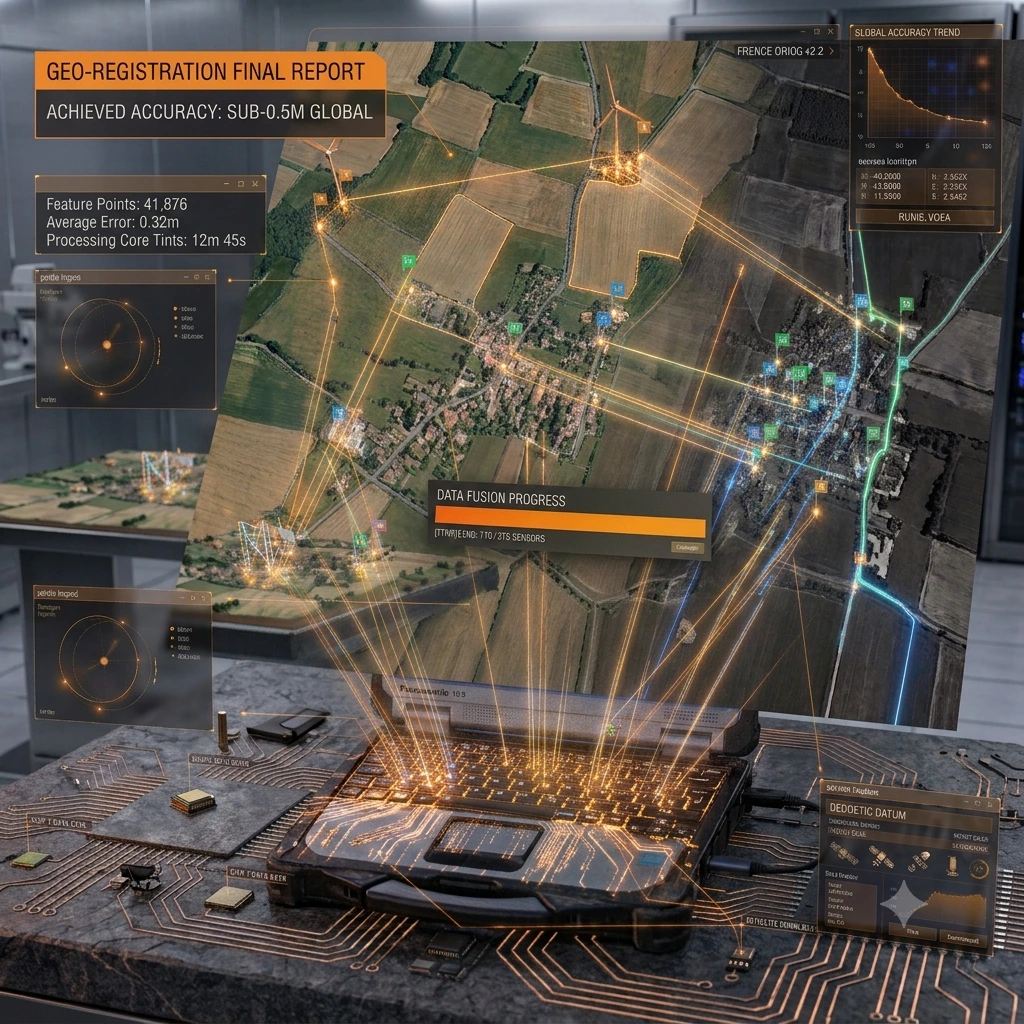
3. Auto Georeference
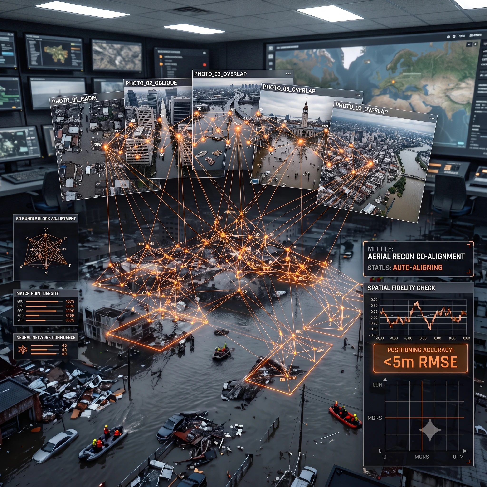
Neural engine aligns and stitches all frames to basemaps automatically with sub-5m positioning accuracy.
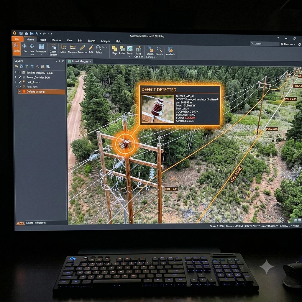
4. Inspect Defects
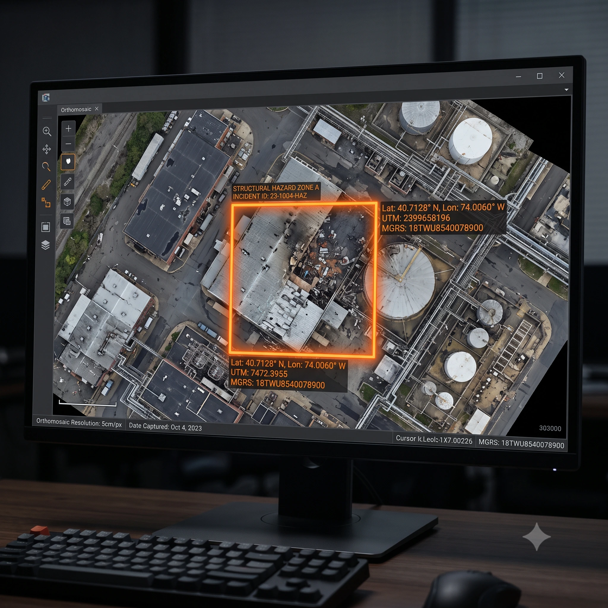
Inspect finished orthomosaic maps in Atlas Geo to detect damaged insulators, structural corrosion, or vegetation risks.

5. Dispatch Field Crew
Send repair crews straight to exact coordinates same-day bypassing processing queues.