AIVE Atlas Locate ● Page coming soon
Know where your drone is when GNSS can’t tell you.
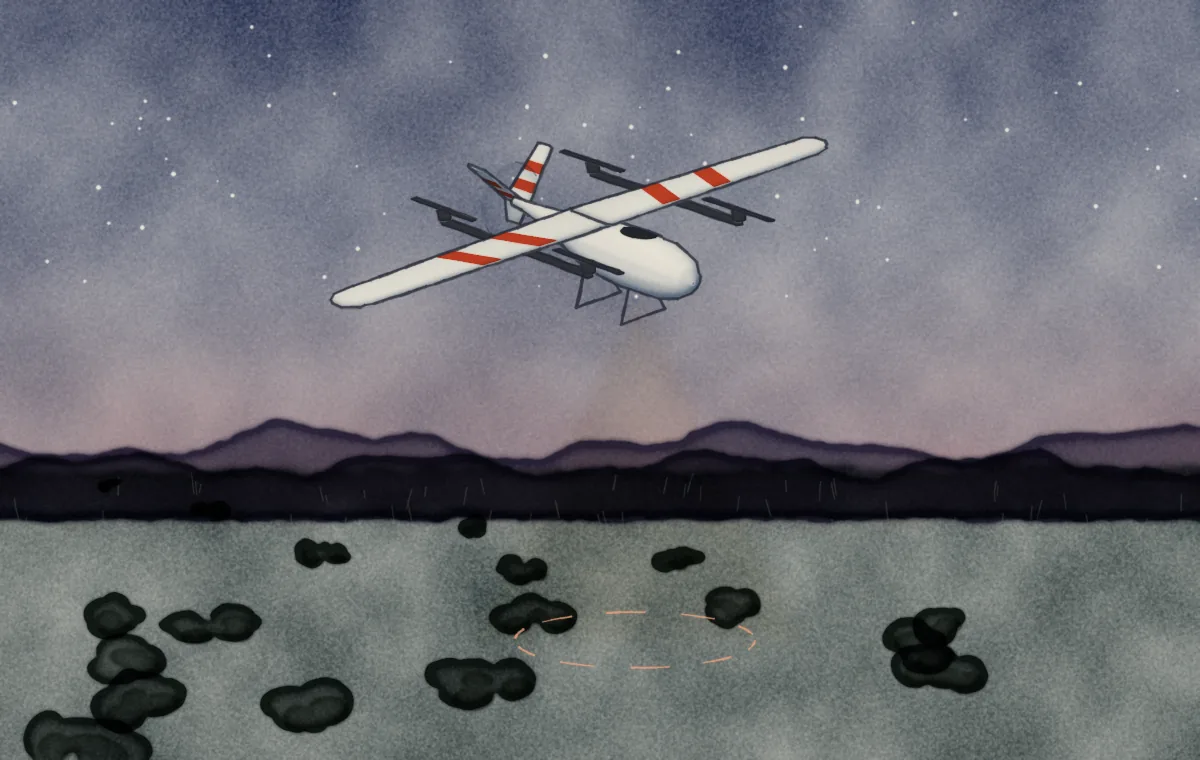
AIVE Atlas Locate brings our georegistration engine onboard, so a drone can work out its own position from what its camera sees when GNSS is jammed or unavailable. The full page is on its way.
<10 m
3D position error in our early flight tests
No GNSS
For when GNSS is jammed or unavailable
Onboard
Runs on the aircraft itself