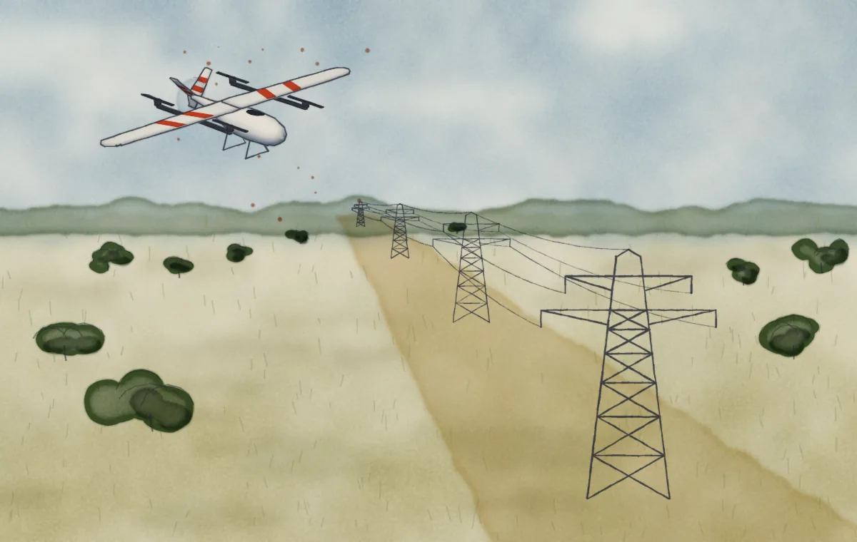
Utility & infrastructure
Send the crew to the exact spot.
Fly the line, put it on the map, and hand the crew coordinates the same day.
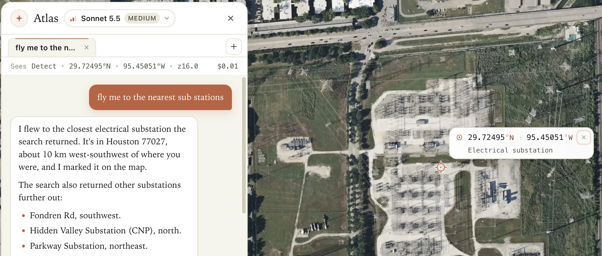
Fly me to the nearest substation.

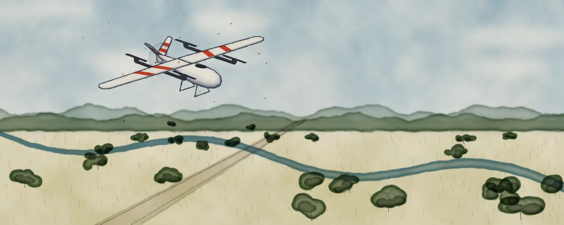
AIVE Atlas Geo + Analyst ● In your browser
AIVE Atlas Geo puts every drone photo on the map, with no ground control points. AIVE Atlas Analyst answers questions about that map in plain English, and finds and counts what’s on it.
200 images free every month
Nothing to install
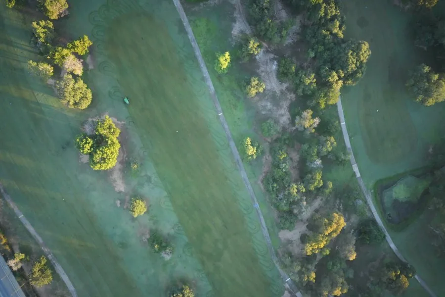
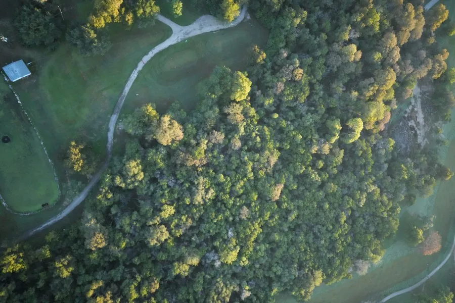
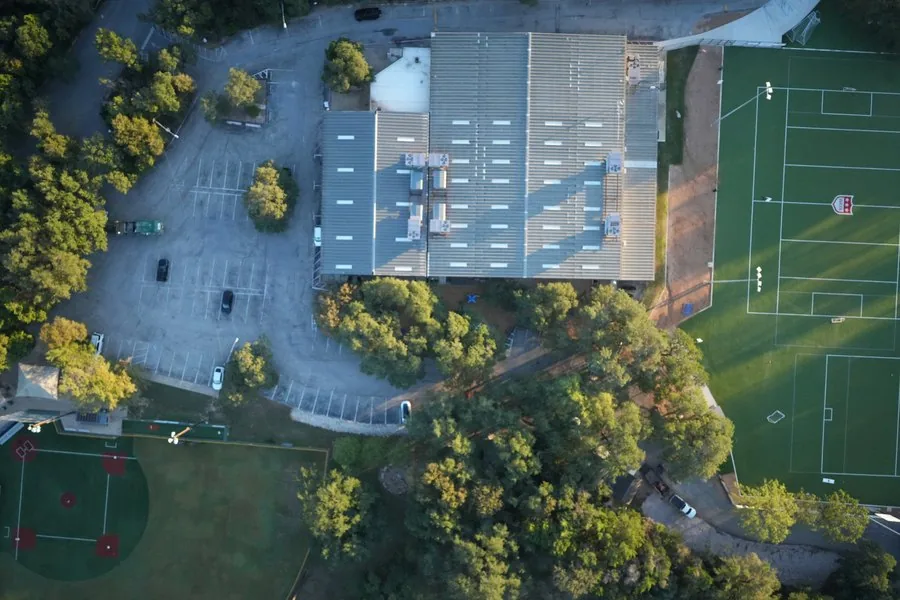
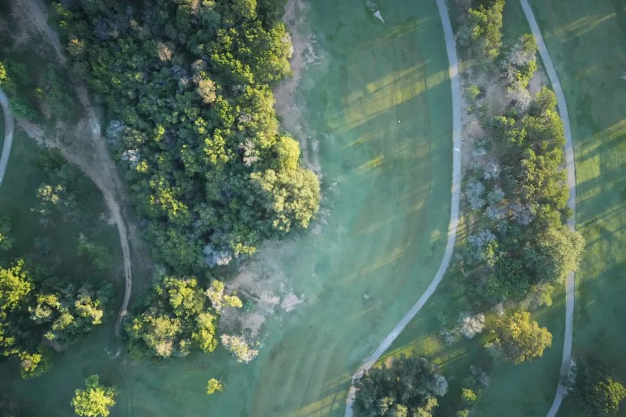
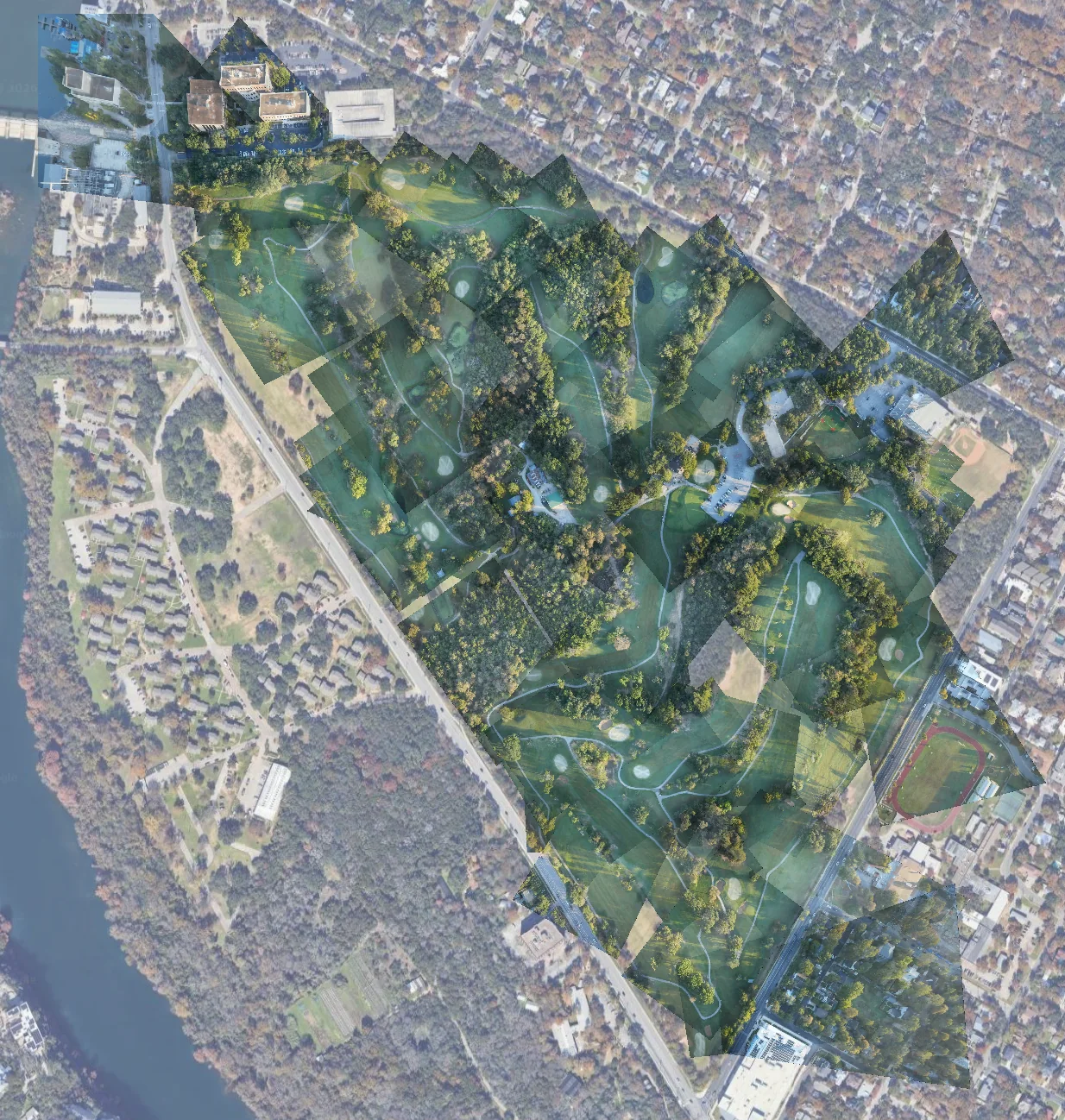
AIVE Atlas Geo starts from the GPS tags your drone already records, matches each photo to satellite imagery, and places it on the map. No targets to lay out, nothing to survey. On our Lions Muny flight in Austin it placed 94 of 97 frames, with no ground control at all.
Where it stops
If you need survey-grade accuracy, you still need ground control. For progress checks, inspections and post-storm maps, you can skip it.
Ask finds places, addresses and businesses, flies the map there and marks them with coordinates. It reads public map data too, like the power lines in OpenStreetMap, and says where an answer came from.
Try typing
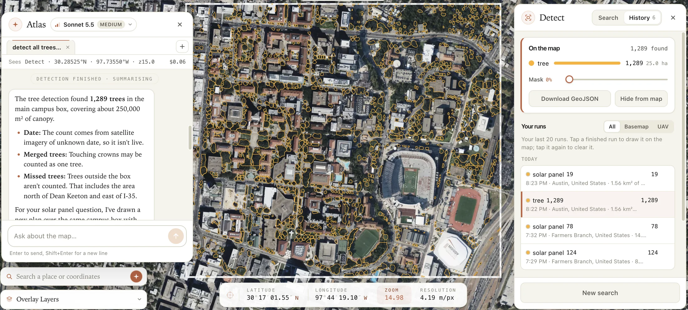
Fly me to the nearest substation. Identify power lines in the area shown. Mark the nearest hospital to Lions Muny. Find tennis courts near water in Houston. Save this view to my desktop as a GeoTIFF.Ask AIVE Atlas Analyst to count something, or draw the box yourself. Detect outlines each one it finds, counts them and measures their area, on the satellite basemap or on your own flight’s photos.
What it counts
Buildings, vehicles, vessels, airplanes and tennis courts. Or type your own short noun, like “tree” or “solar panel.”
What you get
An outline, a count and an area for each one, inside any box up to 3 km a side. Download it all as GeoJSON for your GIS.
From our own flight
At Lions Muny, Detect counted the vehicles at the clubhouse in our own photos, golf carts included.
Where it stops
Touching tree crowns can be counted as one, and an undated satellite image isn’t live. Check a few results by eye before you trust a count.
Where it fits
Utility & infrastructure
Fly the line, put it on the map, and hand the crew coordinates the same day.
Public safety
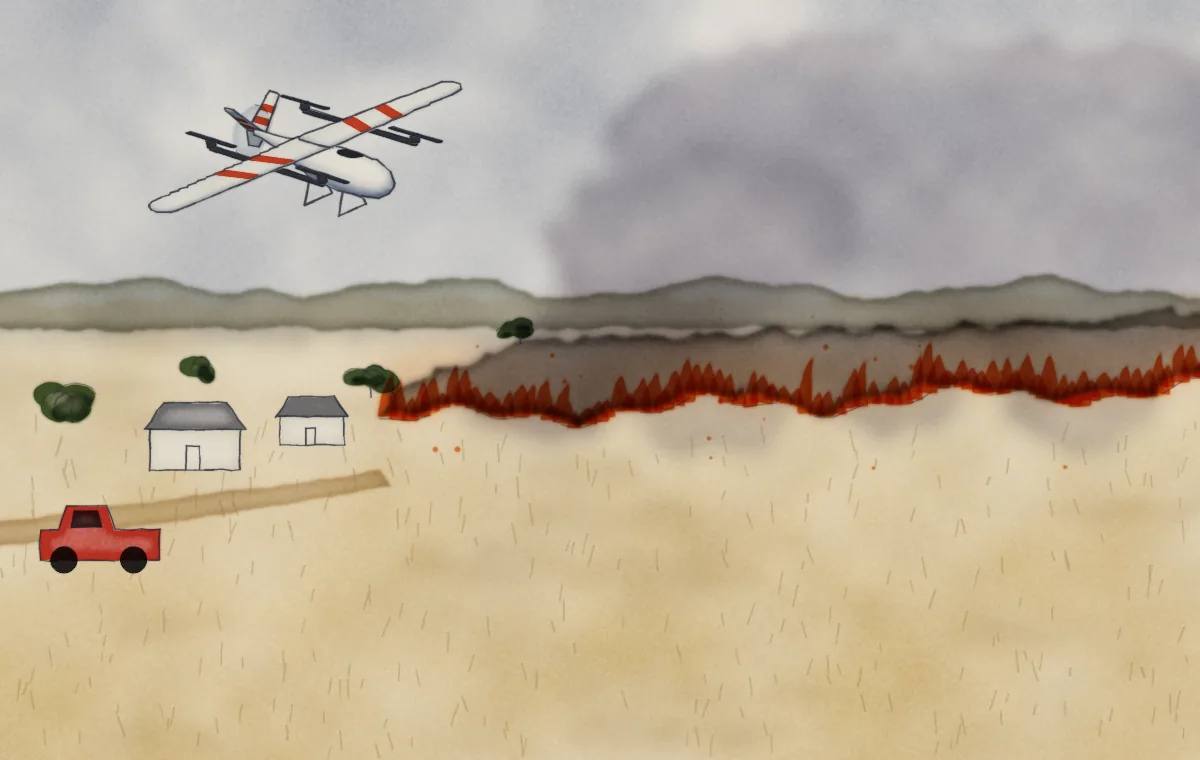
Your photos land over the satellite map, so what’s changed since it was taken stands out.
Agriculture & environment
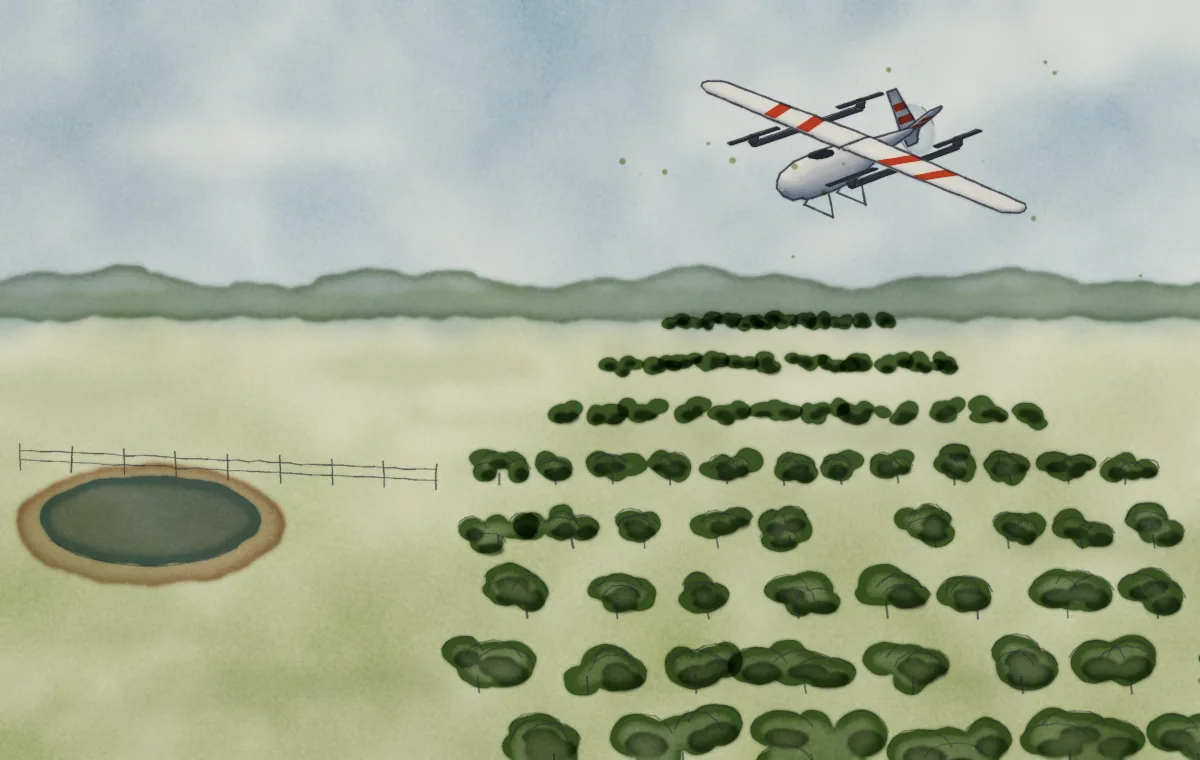
Count an orchard block and see where the rows have gaps.
Construction
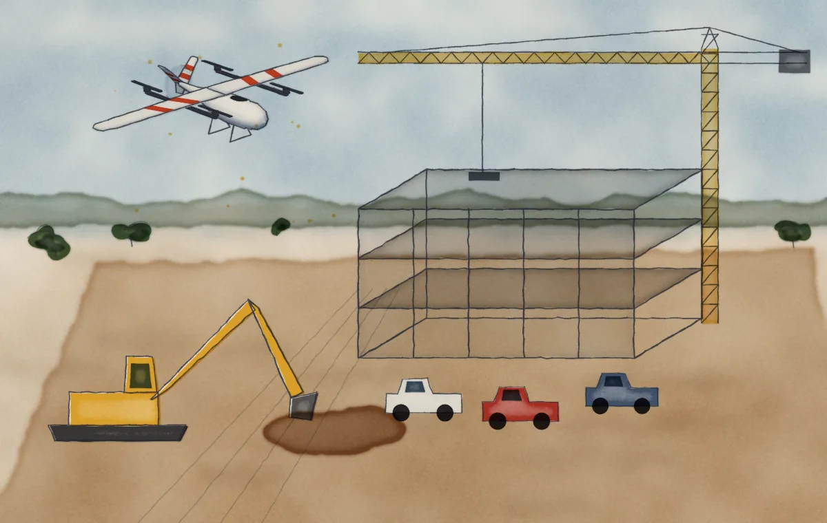
Fly the site on the same day each week and count what’s there.
Not yet
AIVE Atlas Analyst doesn’t spot damage like corrosion, compute plant-health indices like NDVI, or measure volumes and elevations. And it isn’t a live feed: land, upload, then ask. Live streaming from the drone is coming soon.
Try it on your next flight
Your first 200 images each month are free, and it all runs in your browser.
See it on real flights: read AIVE Chronicles →