
AIVE AI Systems ● Austin, Texas
What your drone sees, on the map.
AIVE AI Systems builds vision-based software that puts drones and their imagery on the map: one georegistration engine, three products.
Our products
One engine, three products.
AIVE Atlas Geo matches drone photos to satellite imagery to put them on the map. AIVE Atlas Analyst and AIVE Atlas Locate are built on the same engine.

Drone photos on the map, no ground control.
Upload a flight and each photo is matched to satellite imagery and placed on the map, 10 cm to 3 m depending on terrain.
How it works →
Ask the map. Count what’s on it.
Find places in plain English, then outline, count and measure buildings, vehicles, trees and more in any box you draw.
See AIVE Atlas Analyst →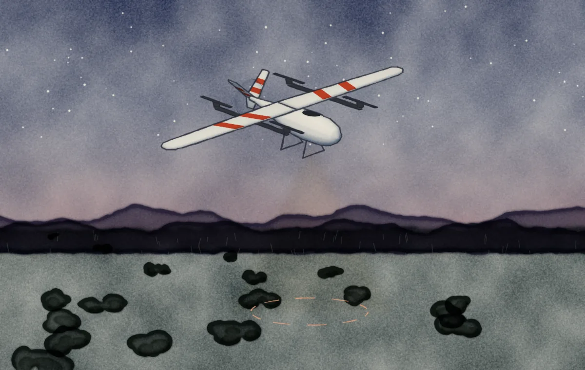
Position when GNSS can’t tell you.
Sub-10 m 3D self-positioning in GNSS-denied environments. It brings our georegistration engine onboard, so a drone can work out where it is from what its camera sees.
See AIVE Atlas Locate →AIVE Chronicles
Every story starts as a flight we put on the map.
Short illustrated stories of Austin and Texas from the air, honest about what our drone saw and what it didn’t.

Texas State Cemetery
Under the oaks, Texas keeps its stories. An illustrated aerial mission across the historic grounds and how they change with the seasons.
Read the story →
Nine Miles West
One short, tense flight in high winds. Guest starring the inspector (a cow). AIVE to the rescue: less georegistering hassle, more flying.
Read the story →
Shoal Creek & Pease Park
We flew up the creek and stitched the photos into one continuous view with AIVE Atlas Geo, making a visitor map from Kingsbury Commons to 29th Street.
Read the story →
Let Them Play
Up before the first tee time: a sunrise mission mapping historic Lions Municipal Golf Course, est. 1924. Guest starring the Lion.
Read the story →Who we are
Built in Austin, from UT’s XPRIZE Wildfire team.
AIVE AI Systems is a University of Texas at Austin spinoff. Our origins trace to UT FLARE-X, a semi-finalist in the XPRIZE Wildfire competition, where our team built drones, sensors and software for autonomous wildfire response. AIVE AI Systems launched in January 2026 to build on that work.
Try it on your next flight
Put your next flight on the map.
Then ask it something.
Your first 200 images each month are free, and it all runs in your browser.